The Bike2CAV will first validate the use of wireless communications between different motorized vehicles and bicycles under real-world conditions. For communication between bicycles and motorized vehicles to work, the bicycle must possess precise information regarding its spatial positioning. Validating the precise positioning of bicycles, requires controlled experiments in a real-world setting, and high-precision map-matching on digital maps.
The Bike2CAV project will analyse a variety of potential solutions in order to identify suitable and safe approaches. The most promising solutions will first be tested in the context of a controlled experiment. Then, using a proof-of-concept prototype, they will be tested in two real-world scenarios – on a rural road and at an intersection in a built-up area.
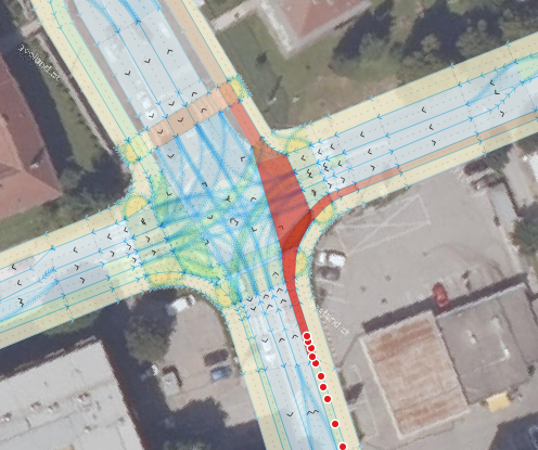
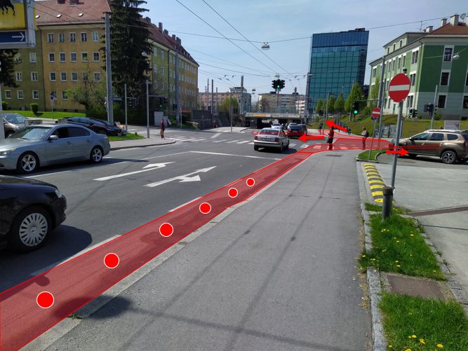
Urban intersection
A representation of the test intersection in the city of Salzburg will be drawn up using an HD- map and photographs. Example trajectories of bicycles will be generated showing possible cycling lines.

© HD graphs: Salzburg Research, Orthophoto: basemap.at 
© Salzburg Research, Simon Gröchenig
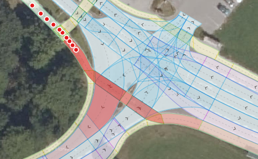
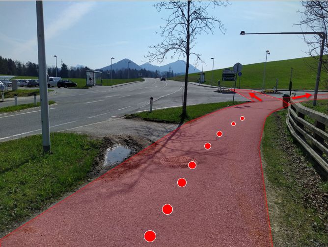
Intersection on a rural road
A representation of the test intersection in the rural setting of the village of Koppl will be drawn up using an HD-Map and photographs. Example trajectories of bicycles will also be generated showing possible cycling lines.

© HD graphs: Salzburg Research and Joanneum Research; Orthophoto: basemap.at 
© Salzburg Research, Simon Gröchenig
